Instagram


History and Waterfalls
Freedom Falls & Rockland Furnace
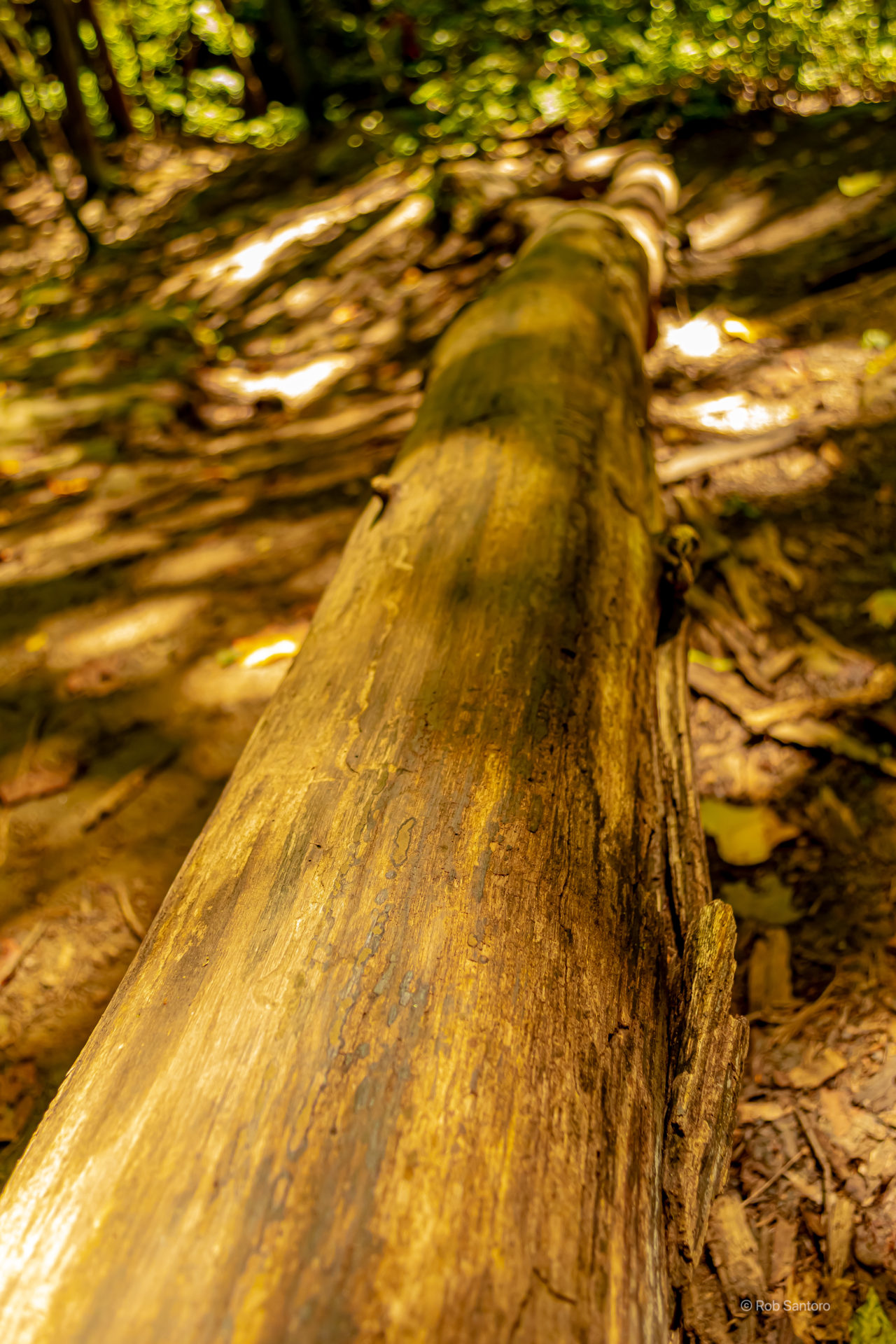
This was mine and Brandon’s first excursion venturing outside of cityscapes. We decided to try our hand at capturing some waterfalls. As it turns out, Pennsylvania has a vast amount of natural resources, state parks, state game lands, wilderness, and even a national forest for us to explore. On this particular late summer day, we headed out to Venango County, not too far from home in Pittsburgh, to see what Freedom Falls was all about.
Rockland Furnace – A Brief History
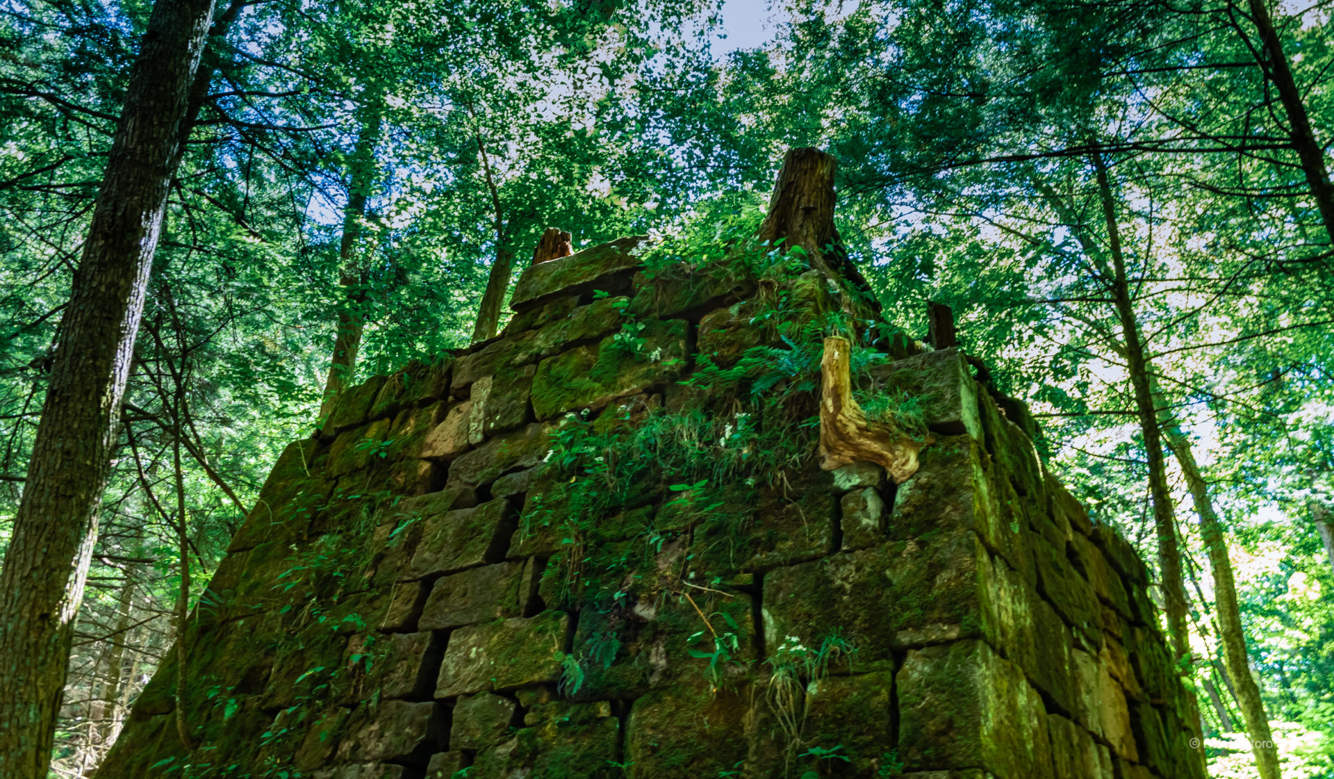
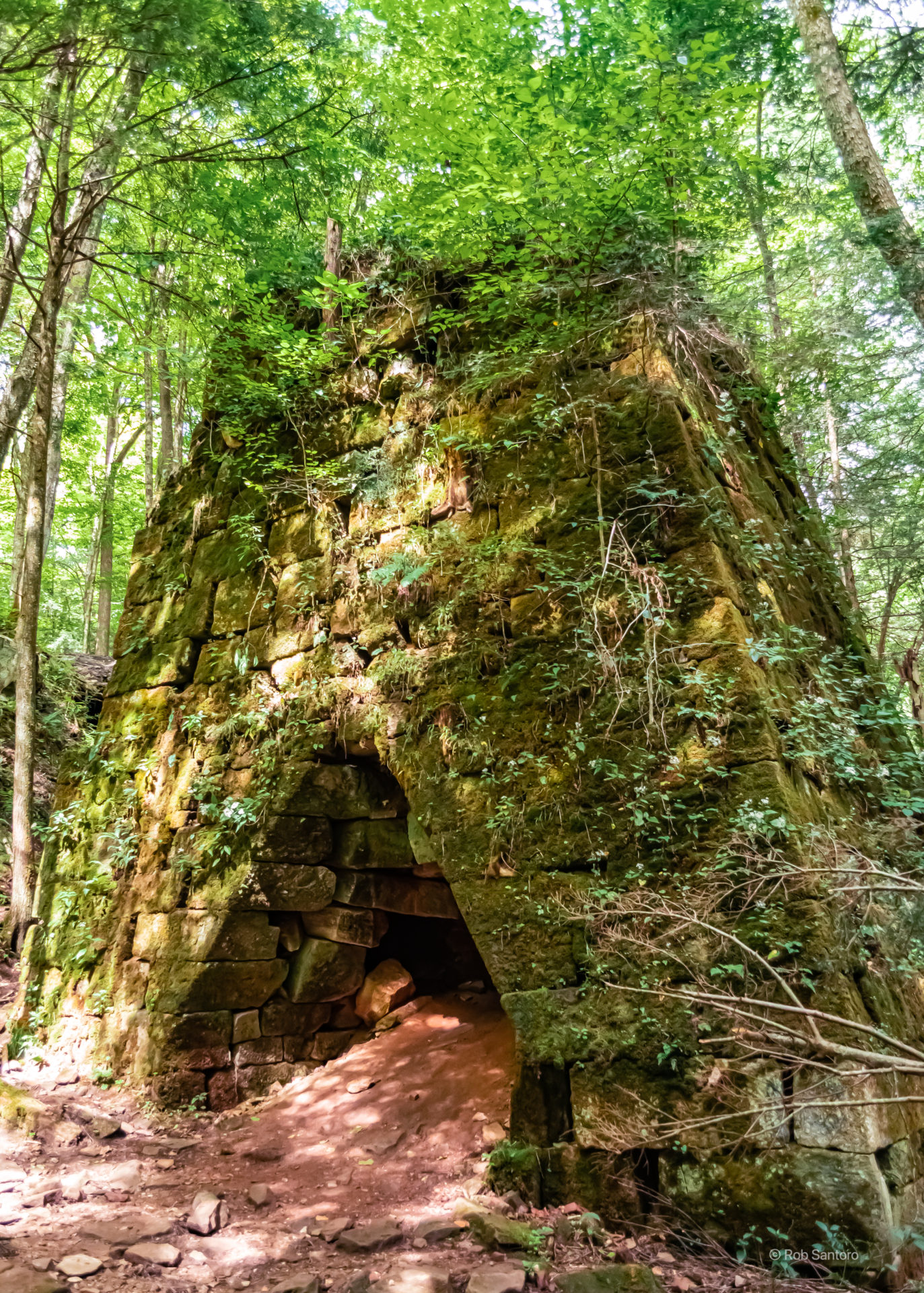
Rockland Furnace was built in 1832 by Andrew McCaslin to produce iron. In the first half of the 19th century, this area of Venago County was a regional iron center, with twenty five iron furnaces. These furnaces would supply local markets as well as the rolling mills in Pittsburgh with iron. Iron production in the county reached its peak around 1847, when there were 17 furnaces producing 12,000 tons of pig iron a year valued at $380,000 (roughly $12.4 million in 2021 dollars).
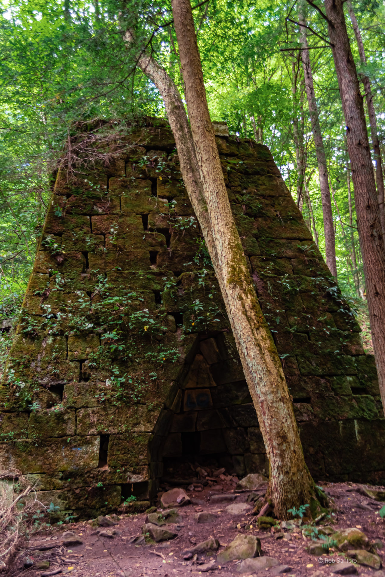
The power for the blast for the furnace came from William Craig’s mill damn, which had been built in 1818 upstream.
Not much is known about Andrew McCaslin. Shortly after his death, the furnace was operated by Rockwell, Dempsey, and Week, then William Speer, and finally by E.W. and H.M. Davis. The Davis brothers operated the furnace until 1854. Since 1854, there has been no activity at the furnace.
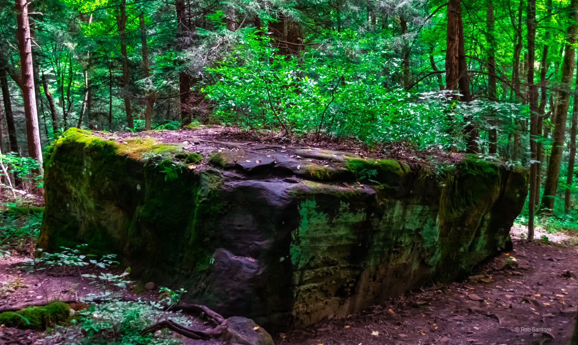
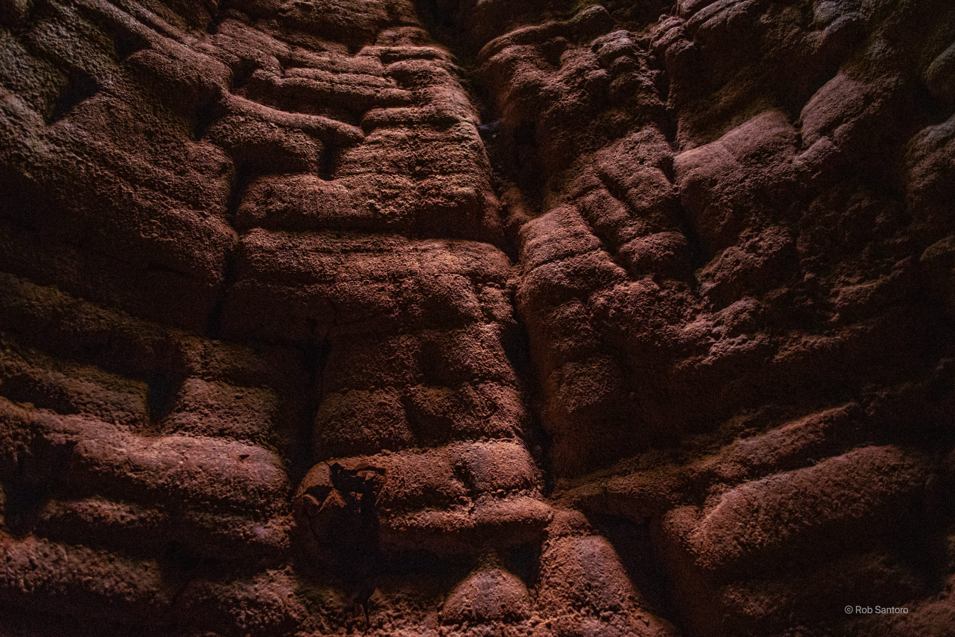
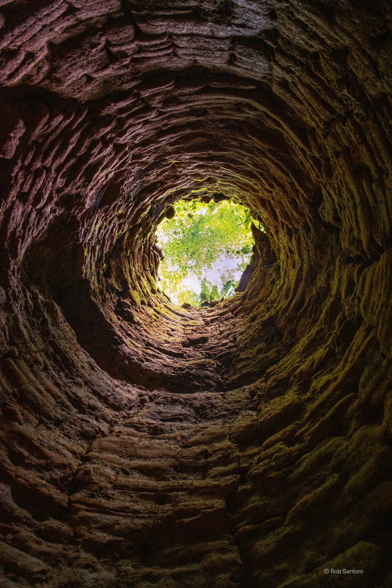
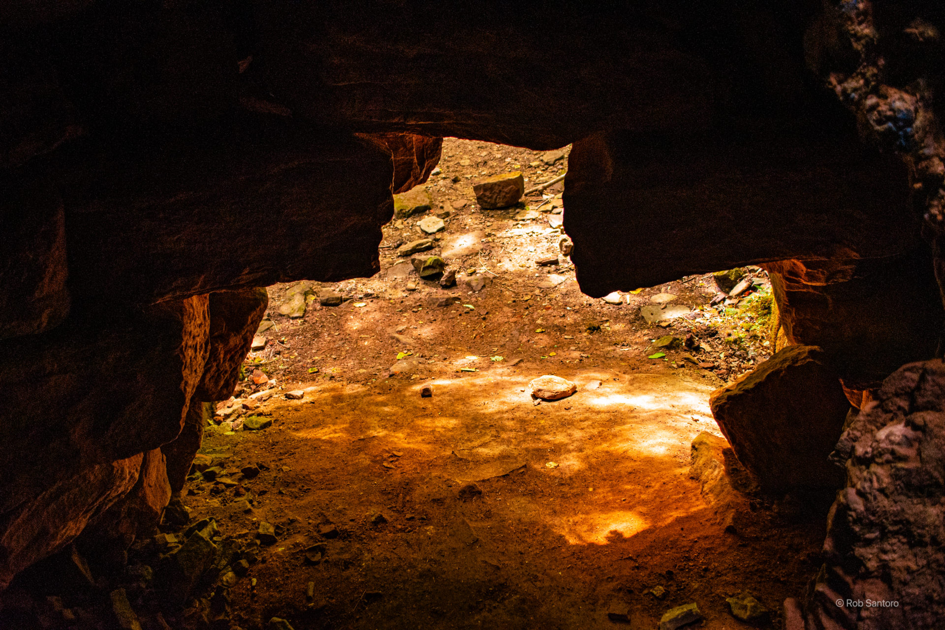
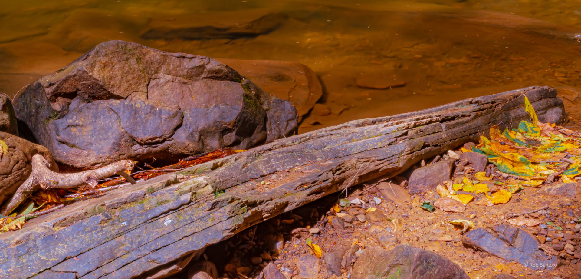
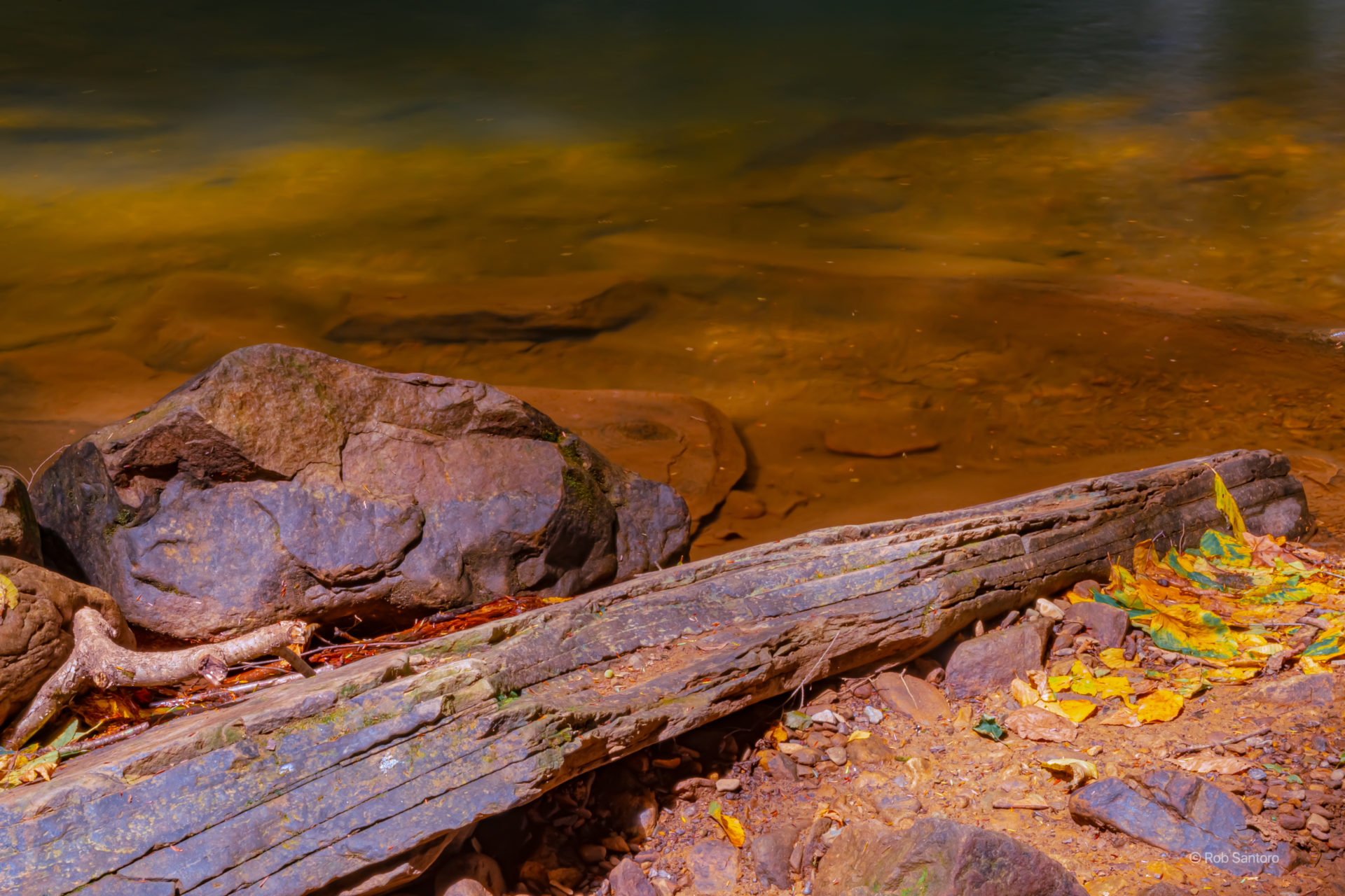
The furnace is located in Venago County on the west bank of Shull Run, 100 yards downstream from Freedom Falls. The furnace was listed on the National Register of Historic Places in 1991. References and further Information can be found here.
Freedom Falls
Getting There
Getting to the falls was pretty easy. You can enter “Freedom Falls” into Google Maps and it will do a pretty good job getting you there. The trail-head to the falls is located off Rockland Station Road, which was a bit of a back road, it hardly felt paved.
If you’re coming from Pittsburgh, as I was, it’s about an hour and a half drive north and slightly east of the city. 79 to 80 does most of the work and it’s an easy ride up through rural Kennerdell Pennsylvania. According to Wikipedia, there are 247 residents in Kennerdell, and it’s a census-designated place. So you know you are going to be in a pretty rural area when going. I did have cell coverage the entire time, so your phone’s google maps will get you there. For reference, the GPS coordinates are 41.23613857292199, -79.74784910213816 and you can use this link to get to the google map:
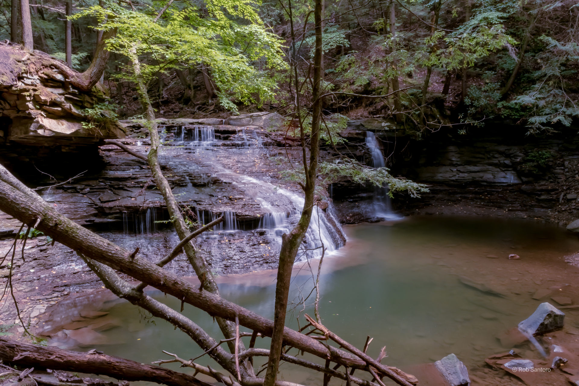
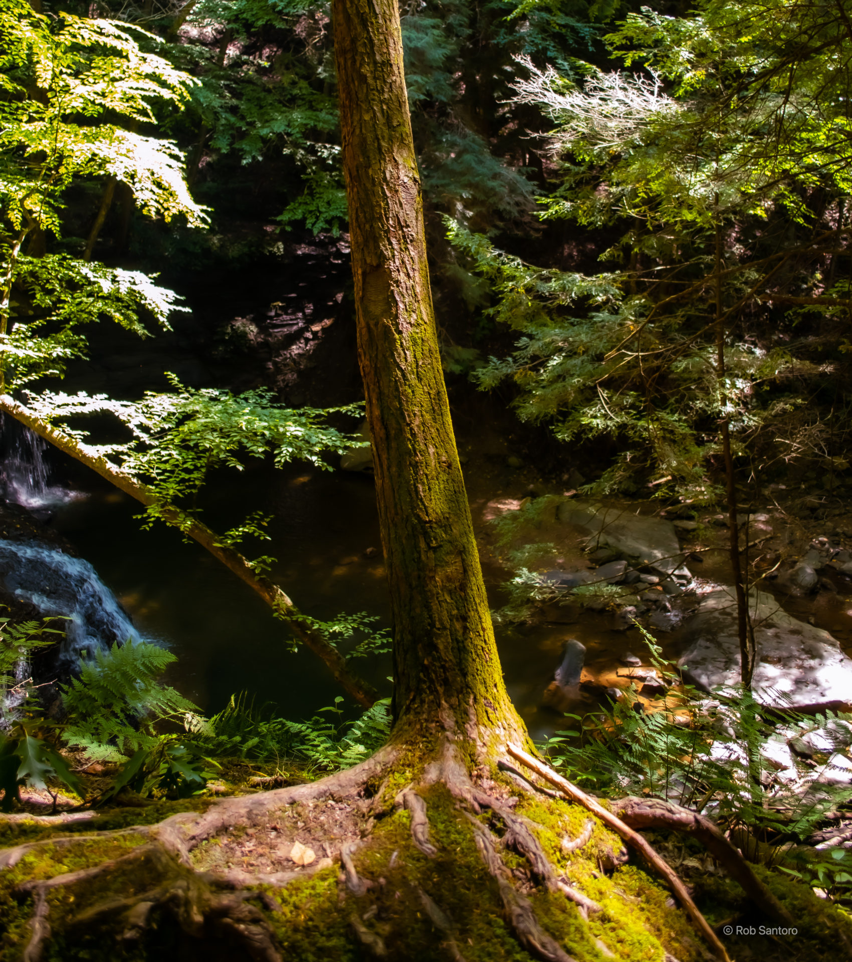
The Falls
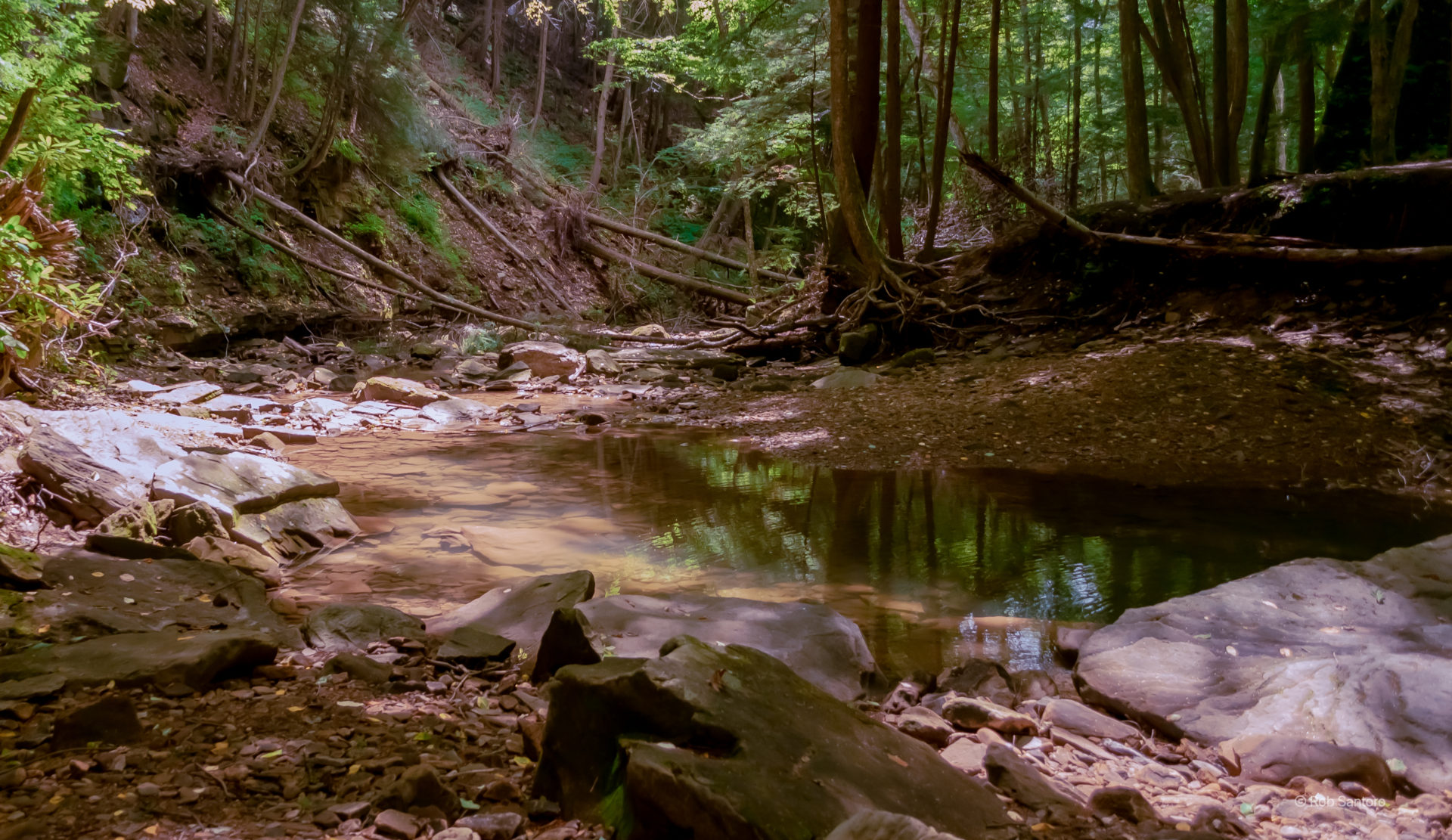
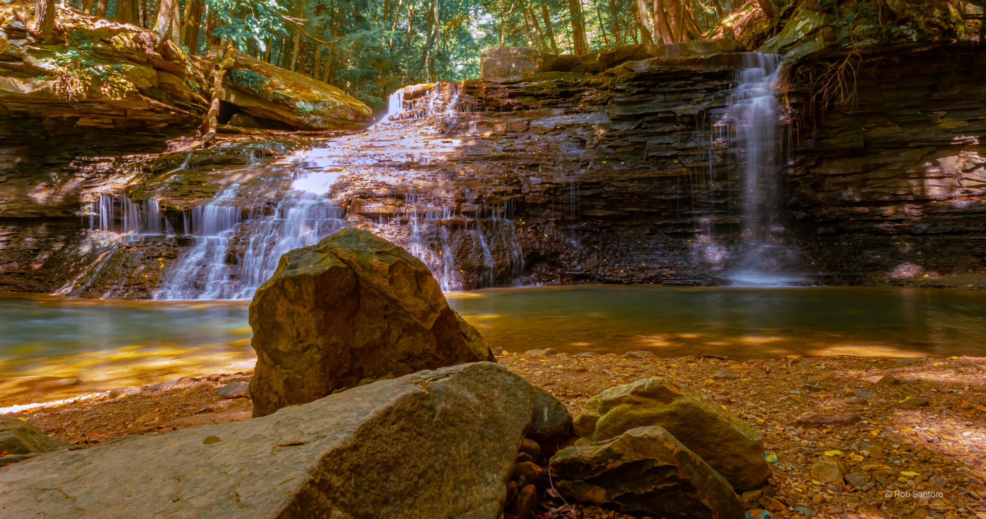
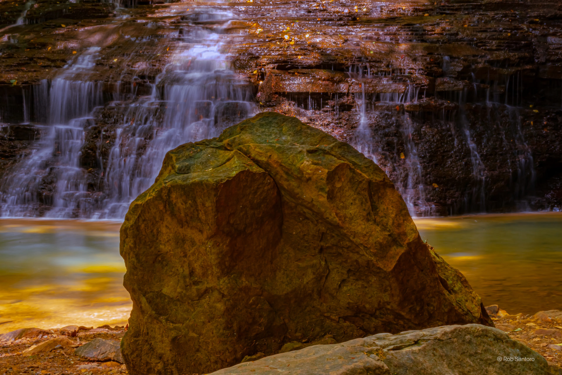
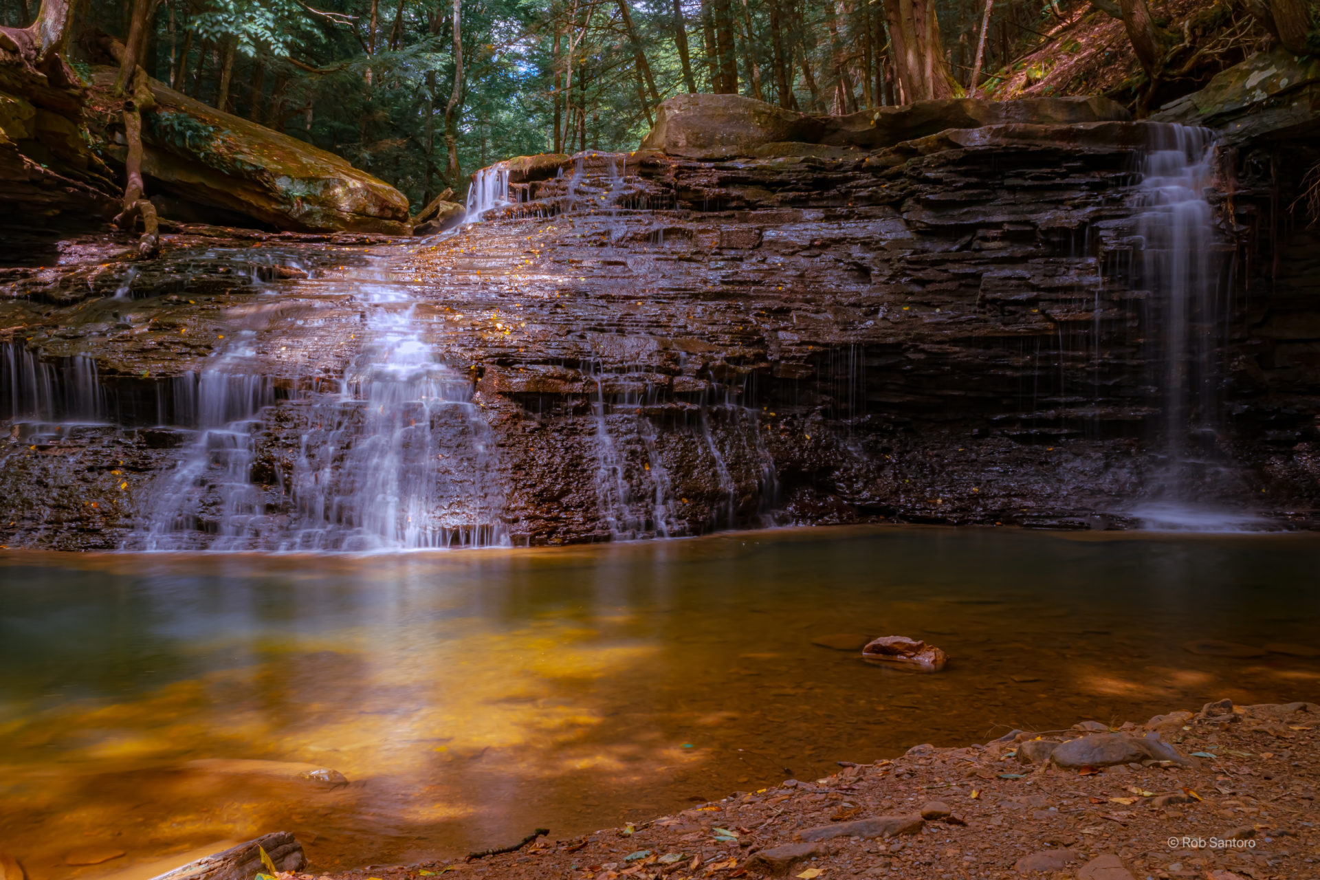
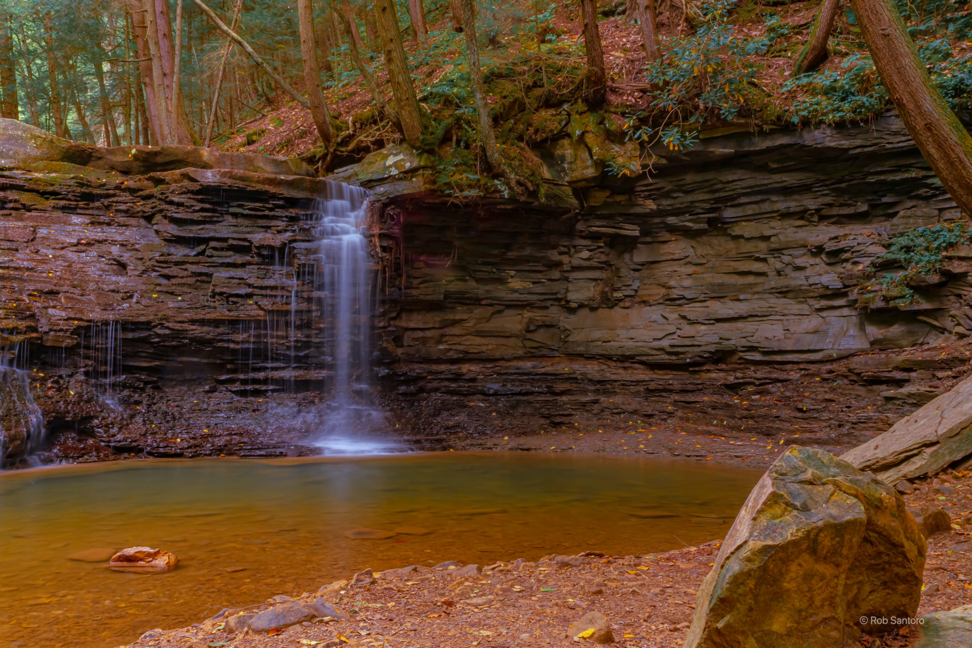
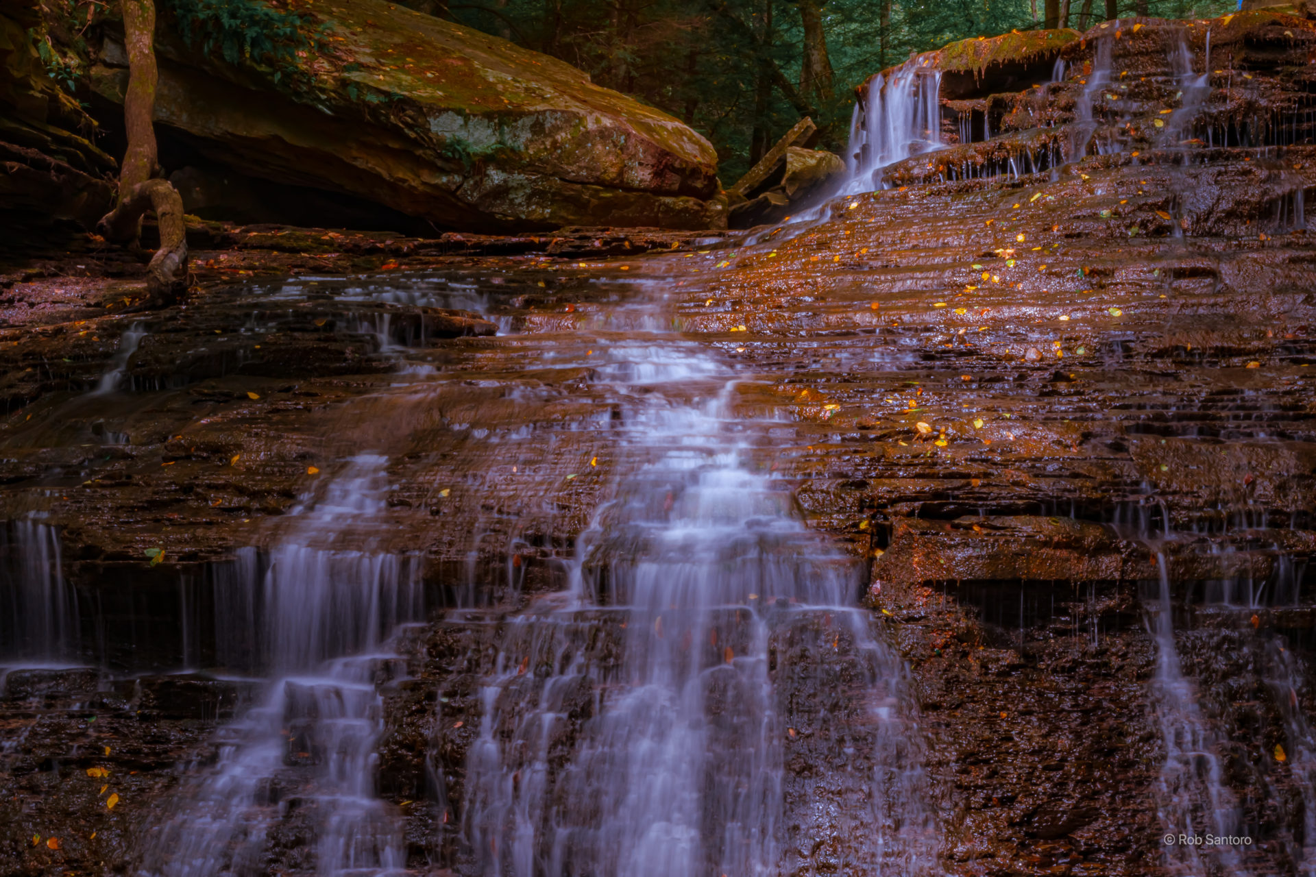
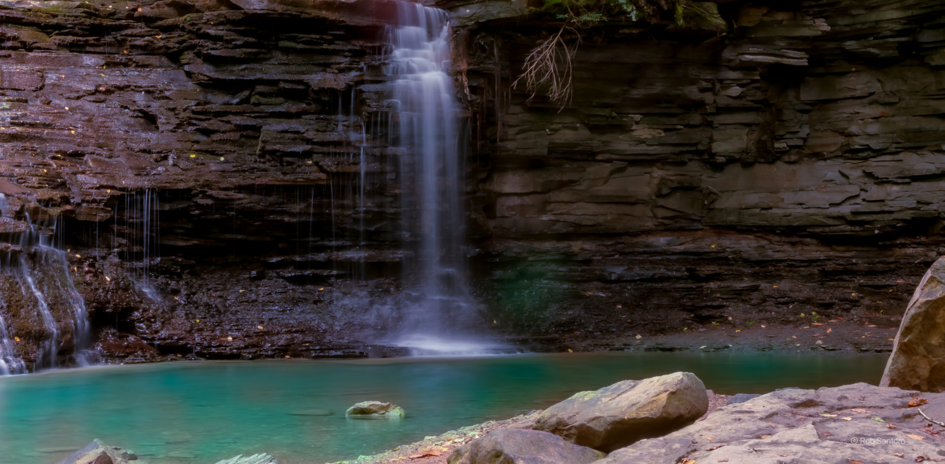
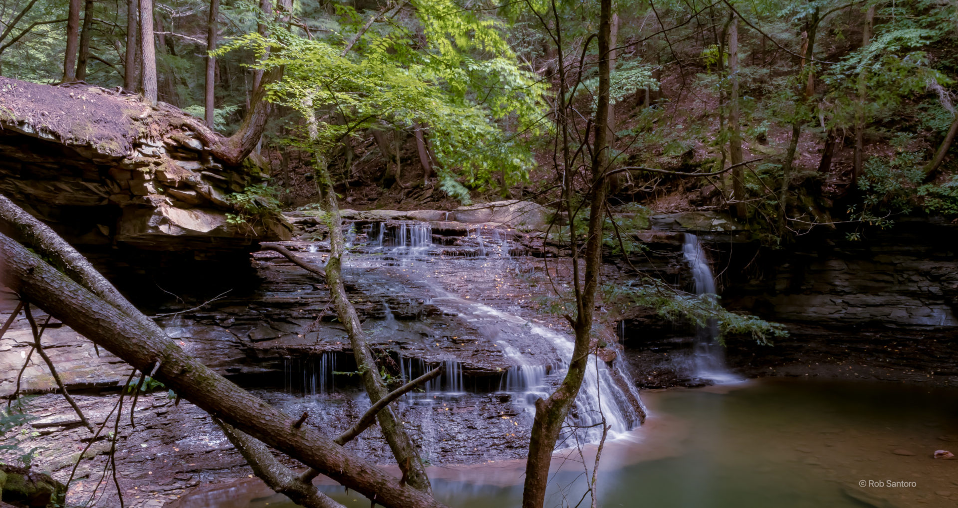
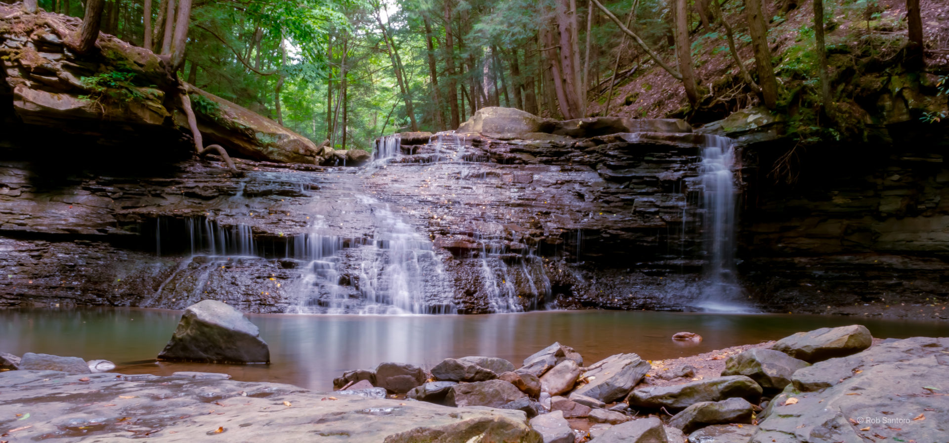
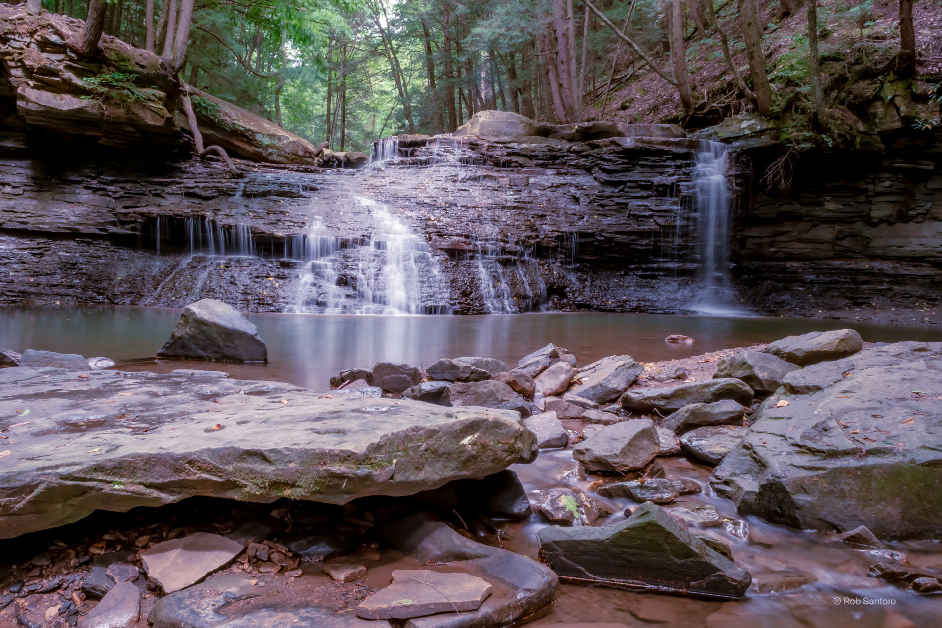
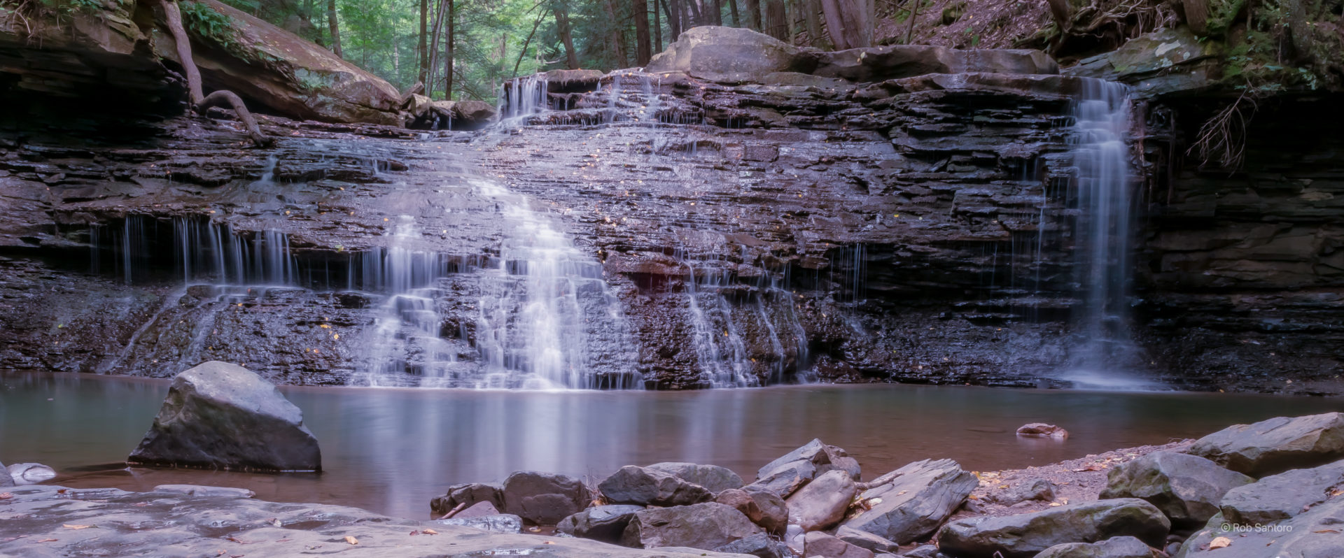
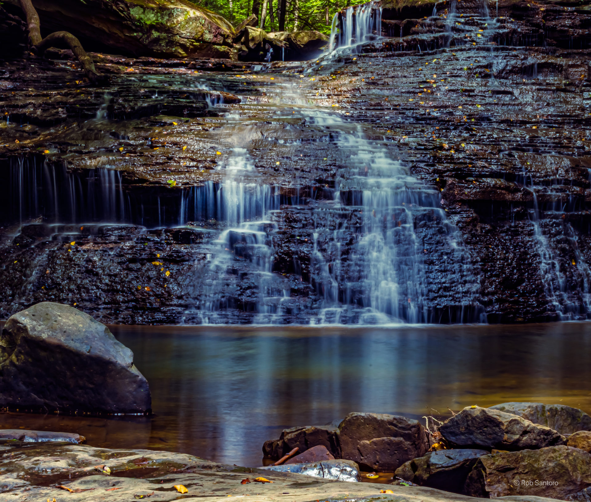
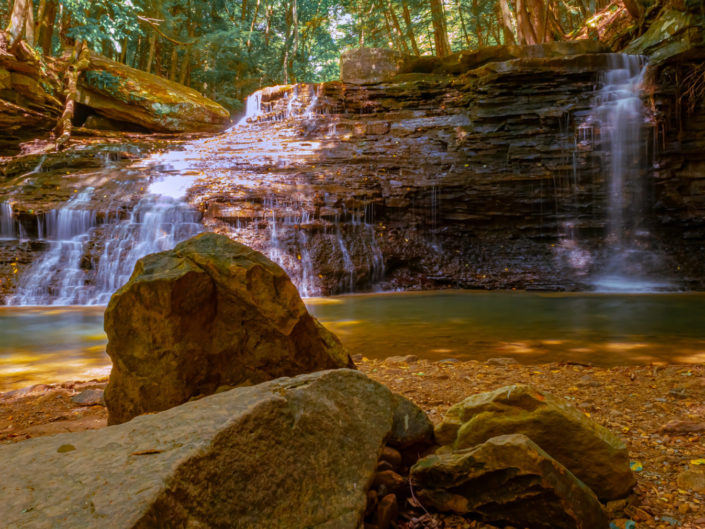
The falls themselves were about 55 feet wide, and 20 feet tall. Similar to my Rapp Run Falls excursion, visiting the falls in August, after a pretty long dry spell, didn’t lead to any extremely impressive water flow. I imagine that in the spring, or after a good few days of rain, these can be quite impressive. Nonetheless, it was a relaxing atmosphere, with few others around to share the falls with.
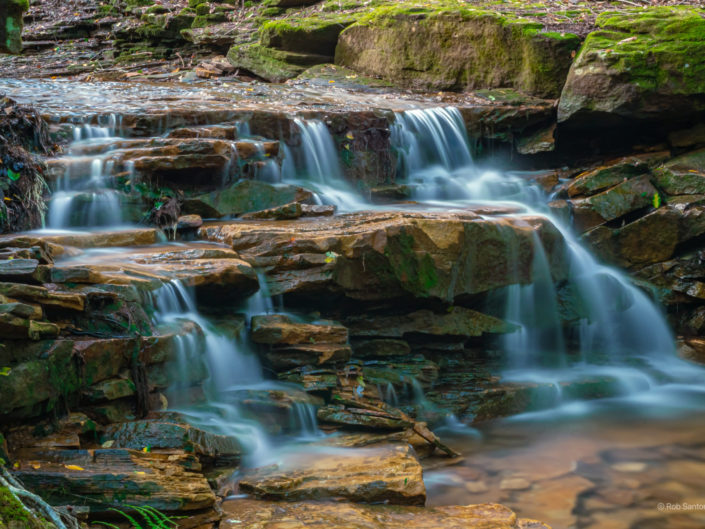
Since the falls are so wide, it seemed like there were two distinct waterfalls flowing. The main falls took up the majority of the space, wide, and flowing down towards the left. Then, off to the right, was a second, narrower fall that seemed to flow a bit more, as can be seen here:
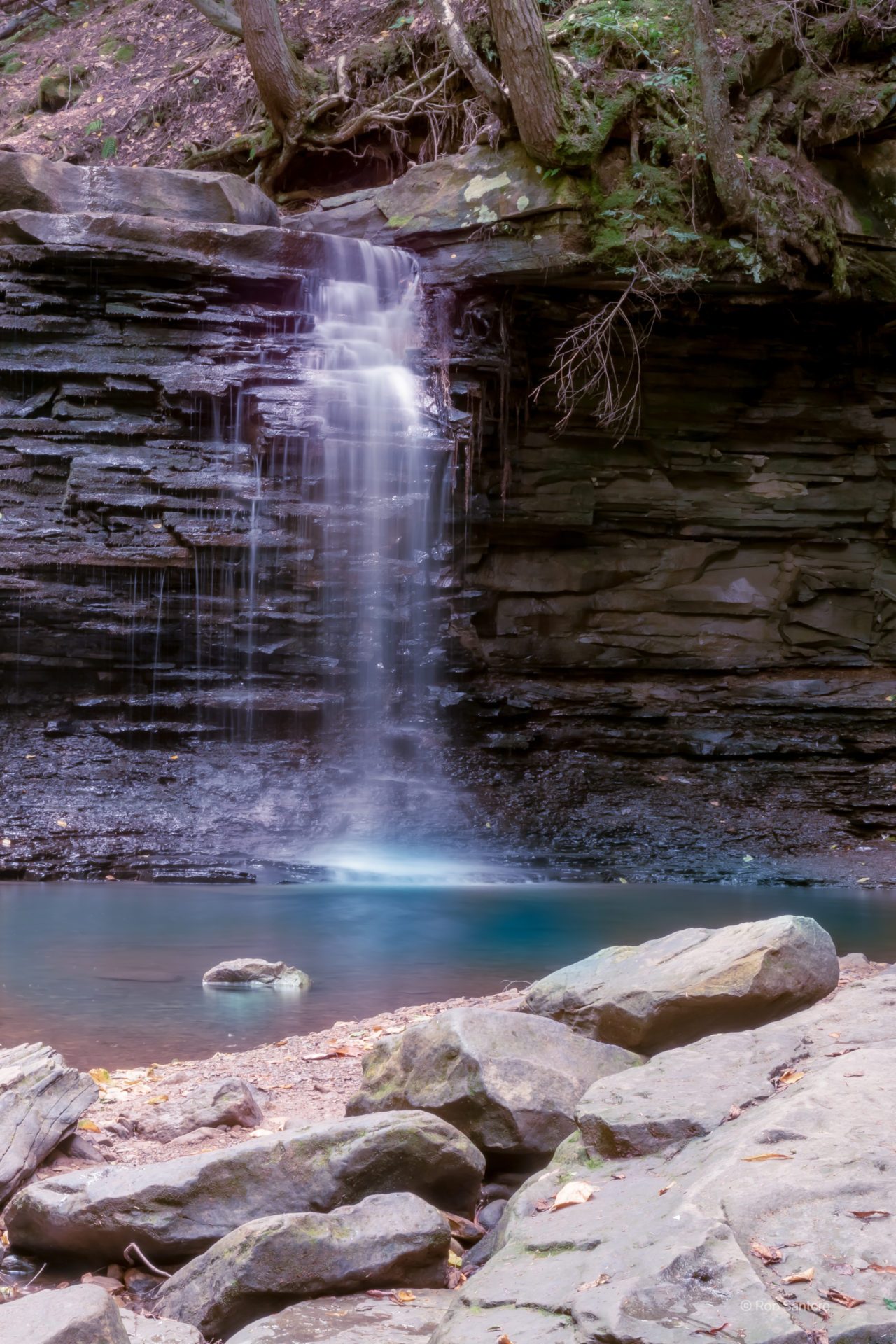
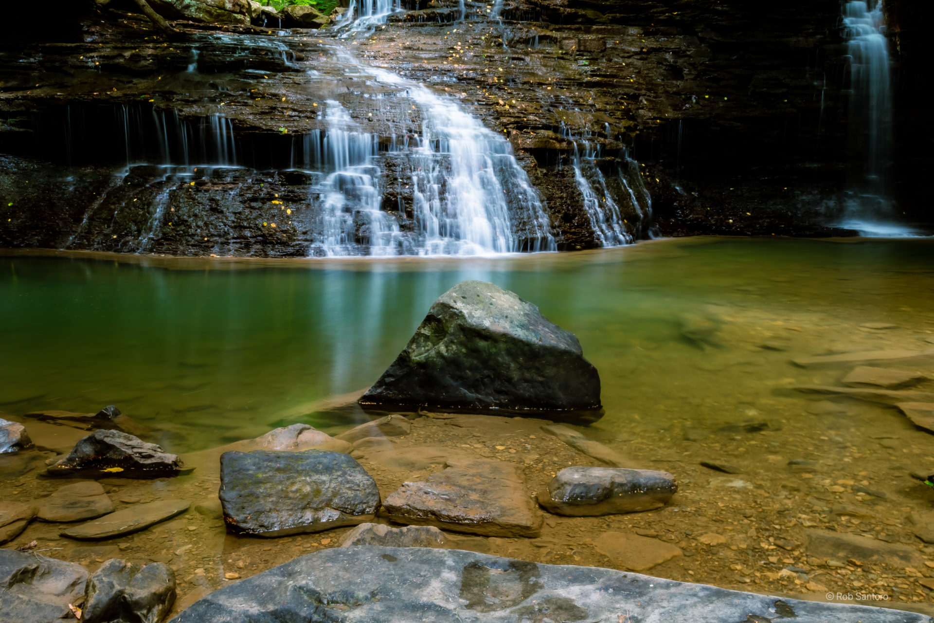
The falls flowed into a pool, that had green and blue hues to it, then continued to flow towards the furnace. I tried to capture these colors, but as this was my first attempt at waterfall photography, I think I’ve learned some lessons. The sun was shining pretty bright and it hit the falls just right to make them seem quite bright, and saturated. It took me several attempts to capture what I was seeing without too much glare.
I look forward to returning to this spot in the spring or after some rain to better capture a fully flowing set of falls. Either way, it was a relaxing, peaceful spot worth a visit if you haven’t been.
The Gallery
 |  | |  |  |  | |  |  |  |  |  |  |  |  |  |  |  |  |  |  |  |  |  |  |  | | |  |
Published: May 31, 2021
Recent Portfolios
Freedom Falls and Rockland Furnace
Rapp Run Falls
Waterfalls / Pennsylvania / Hiking
Pennsylvania Grand Canyon
Landscape / Pennsylvania / Hiking
Pittsburgh Sunset from the West End Bridge
Pittsburgh / Sunset / Westend
Leave a reply